Northeast Braces for the Winter Wallop That Missed Christmas
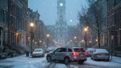
NEW YORK, Dec. 26 – The Christmas wrapping paper has barely been cleared away, but nature is preparing a late, unwelcome gift for the Northeast. While the holiday itself was gray and mild for millions, a rapidly intensifying system is set to shatter the calm, unleashing a chaotic mix of snow and ice that threatens to paralyze travel corridors from Philadelphia to Connecticut.
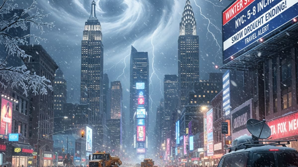
For New York City, this isn’t just another winter storm; it is a potential history-maker. The Big Apple has been caught in a meteorological drought, having gone over 1,400 days without seeing more than 6 inches of snow in a single 24-hour window. That streak, a point of curiosity for weather enthusiasts and relief for commuters, appears destined to end this weekend.
The FOX Forecast Center projects a heavy thump of precipitation arriving Friday and lasting into early Saturday. While the forecast calls for a widespread 3 to 5 inches across the region, the dynamics of this storm suggest a boom scenario for the city. Locally higher amounts of 5 to 8 inches are possible across the five boroughs, northern New Jersey, and western Long Island, prompting the National Weather Service to issue Winter Storm Warnings for the first time in nearly four years.
The mechanics of the storm are volatile. Early Saturday morning, warm air surging from the south will collide violently with cold air draining down from Canada. This atmospheric battleground will set up directly over the I-95 corridor, turning a scenic snowfall into a slushy, dangerous mix of sleet and freezing rain before the system finally exits.
The timing could arguably not be worse. This storm is striking during one of the busiest travel windows of the year, acting as a formidable opponent for millions attempting to return home or head out for New Year’s celebrations. The stakes are high for the region’s infrastructure.
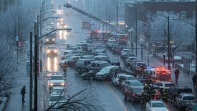
Major hubs, including John F. Kennedy, LaGuardia, and Newark Liberty International airports, are squarely in the crosshairs, raising the specter of cascading cancellations and delays. On the ground, the outlook is equally grim. The interstate arteries that keep the Northeast moving I-95, I-80, and I-90 are expected to become treacherous.
Further inland, the threat shifts from snow to ice, a far more insidious hazard. Western Pennsylvania and parts of Michigan are bracing for significant ice accretion. A quarter-inch of ice may sound negligible, but it is more than enough to snap tree limbs and cripple power grids. As FOX Weather Meteorologist Ian Oliver noted, the danger lies in the deceptive nature of the roads, warning that conditions will turn dangerous the moment that ice starts going.
As New Yorkers continue to celebrate the holidays and prepare to celebrate the new year, they should also prepare for hazardous travel conditions Friday into Saturday. – Eric Adams, Mayor of New York City
Mayor Adams’ statement highlights the duality of the weekend. While the city is in a festive mode, the municipal machinery is shifting into a defensive posture. The administration has confirmed that agencies are coordinating and monitoring conditions, signaling that the city is taking the threat of ending its snow drought seriously.
This storm is shaping up to be a fast-moving but potent event. It will hit hard overnight Friday with snowfall rates potentially exceeding an inch per hour, creating whiteout conditions at the peak of darkness. However, like a blitz that runs out of steam, the system is expected to depart quickly. By Saturday morning, the skies should clear, leaving behind a frozen landscape and, likely, a new entry in New York City’s weather record books.