Ice Threatens to Stall South-Central PA

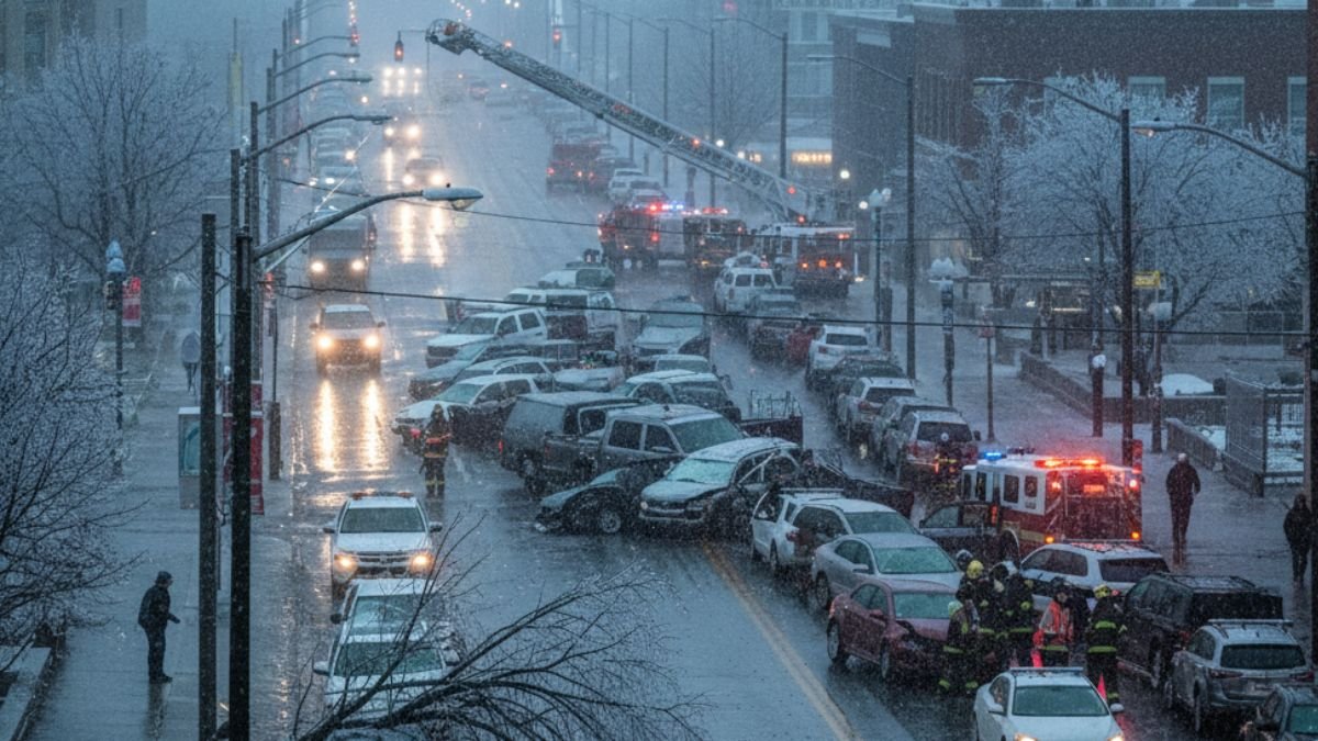
HARRISBURG, PA – It isn’t a blockbuster blizzard, but the system moving into South-Central Pennsylvania this Friday brings an opponent far trickier than deep snow: ice. The region is bracing for a messy transition from the work week to the weekend, as a wintry mix threatens to turn the Friday evening commute into a test of patience and precision driving.
The weather pattern is set to unfold like a slow-motion play, initiating contact with the western counties around 1 p.m. This initial band of precipitation isn’t choosing a single lane; it brings a volatile mix of sleet and freezing rain.
By mid-afternoon, around 3 p.m., the system will press its advantage eastward, blanketing the region. By the time the evening rush hour hits its peak between 5 and 6 p.m., the precipitation is expected to be widespread. While snow lovers might hope for accumulation, the reality is grittier. Residents can expect a light coating to perhaps two inches of sleet and snow in isolated spots.
The real story, however, is the glaze. Freezing rain is projected to leave behind 0.1 to 0.2 inches of ice, with locally higher amounts possible. It is enough to coat windshields and sidewalks, transforming routine travel into a hazardous endeavor.
The National Weather Service has issued a Winter Weather Advisory for the Susquehanna Valley, effective from noon Friday until 7 a.m. Saturday. Notably, the officials held back the red card—a Winter Storm Warning was not issued.
This distinction is crucial. It signals that while the region won’t be buried under the 5-plus inches of snow required for a warning, the impact remains significant. The threat here is infrastructure and traction. The accumulation of ice on power lines and tree branches introduces the risk of outages, a factor that turns a weather event from a nuisance into a genuine disruption.
“Hazardous travel is expected Friday afternoon into Saturday morning as roads become slick and icy.” – National Weather Service Advisory
The official guidance highlights the specific nature of the threat. It isn’t just about volume; it is about the condition of the surface. The emphasis on the overnight hours suggests that even as the precipitation tapers off, the danger on the roads will persist well into the start of the weekend.
The precipitation is expected to taper off late Friday night, but the impact will linger like a stubborn injury. With temperatures keeping the ice intact through Saturday morning, early risers should proceed with extreme caution. The storm may depart quickly, but it plans to leave a slippery legacy for the first half of the weekend.


